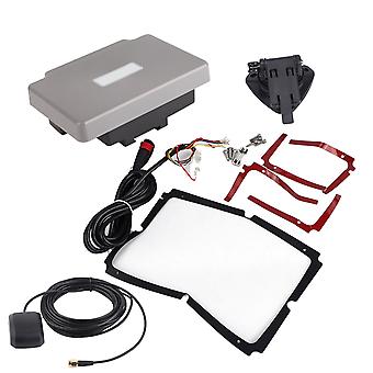
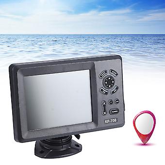
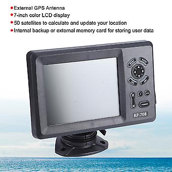
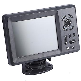
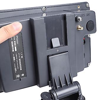
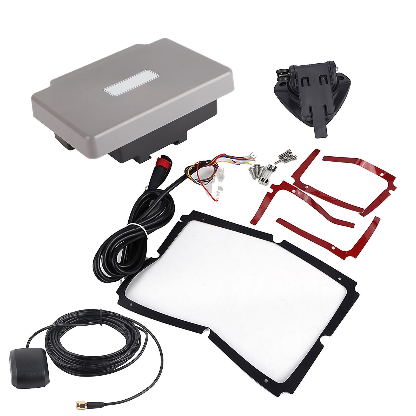
Transponder Combo Navigator,7in Navigation Chart Plotter GPS Navigation GPS Chart Plotter Rapid Response
la livraison GRATUITE
Transponder Combo Navigator,7in Navigation Chart Plotter GPS Navigation GPS Chart Plotter Rapid Response
- Marque: Unbranded
Transponder Combo Navigator,7in Navigation Chart Plotter GPS Navigation GPS Chart Plotter Rapid Response
- Marque: Unbranded
| Prix : |
Seulement 2 disponible(s)
Politique de retour sur 14 jours
Modes de paiement:
Description
Transponder Combo Navigator,7in Navigation Chart Plotter GPS Navigation GPS Chart Plotter Rapid Response
- Marque: Unbranded
- Catégorie: Systèmes de navigation GPS
- Identifiant Fruugo: 278691211-619782560
- EAN: 9797733519282
Livraison & retours
Expédition dans un délai de 10 jours
-
EXPRESS: GRATUIT - Livraison entre mar. 06 janvier 2026–mer. 07 janvier 2026 - GRATUIT - Plus
-
STANDARD: GRATUIT - Livraison entre mar. 13 janvier 2026–mar. 20 janvier 2026 - GRATUIT
Expédition de Chine.
Nous mettons tout en œuvre pour que les produits que vous commandez vous soient livrés dans leur intégralité et selon vos indications. Néanmoins, si vous recevez une commande incomplète, des articles différents de ceux commandés ou si, pour toute autre raison, la commande ne vous satisfait pas, vous pouvez retourner la commande ou tout produit inclus dans celle-ci et recevoir un remboursement complet des articles. Voir l'intégralité de la politique de retour